County survey may finally determine true path of Cannon Hill Road trail
By Kelli Siehl, Staff Writer, The Times
Pocopson township officials are hopeful a Chester County survey will help clarify the proper route for a township trail easement near Cannon Hill Road.
POCOPSON — “And the survey says…” This statement holds true for a popular game show, but does not appear to convince several residents as to the accurate location of one township trail.
During last evening’s Township Supervisors’ meeting, officials received a letter from the Parks, Recreation, and Trails (PRT) committee questioning whether a township trail being maintained between Cannon Hill and Lian Drive is in the right place.
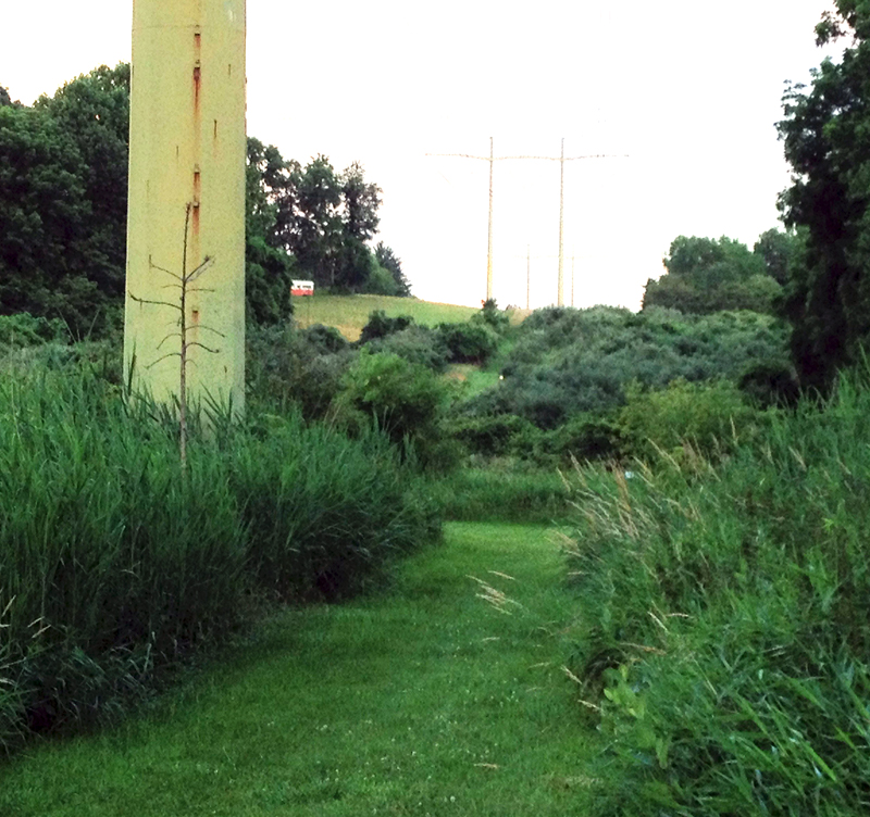
The letter addressed a portion of the trail that may have had trees planted on it by a previous property owner, and the committee suggested that the current property owner either clear the obstructions on the easement, or offer an alternative route, to resolve an issue of hikers crossing his property.
That conversation transitioned into a larger discussion on a multiple-year question as to the accurate route of the entire trail segment, which has been in dispute since at least 2007.
Supervisors’ Chair, Steve Conary, said several Cannon Hill residents have argued that the township is not mowing the trail in the correct location.
During discussion between members of the board, Director of Public Works Mark Knightly and Township Secretary Susan Simone, it was disclosed that the trail has previously been surveyed by two separate companies, one company even repeating its survey after questions remained as to the accuracy of the placement.
Simone cited similar township cases prompting creation of documentation for all parties to sign, stating: “This is the trail, this is the maintenance, and the exhibit is attached to it.” Simone said the township tried to present documentation in 2010 but the PRT felt the survey was incorrect, so no recommendation was submitted to the Board of Supervisors.
Conary said he believes two PRT committee members, Tom Bierl and Chris Conaway, are performing a search of all township deeds and records looking for evidence of a trail.
Conary recommended the township gather all documentation and bring together all parties involved to resolve the issue.
Simone added that the Chester County Geographic Information System (GIS), which is working on a special trails map for the county and are aware of the issue, may identify pertinent information as well.