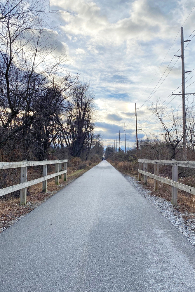
Chester Valley Trail, open throughout winter and all seasons. 2. Brandywine Hunt Development offers one of many public trail systems throughout Chester County.
The Chester County Planning Commission released a new interactive map this week, showcasing all the county’s publicly accessible trails and nature preserves.
The Trailfinder Map helps residents and visitors discover new trails – more than 550 miles of them – to explore in Chester County. Nearly 70 miles of trails are multi-use, allowing for pedestrian and bicycle use, and are ADA-accessible. The map does not include most trails within housing developments, or short, isolated segments of trails.
Brian O’Leary, Executive Director of the Chester County Planning Commission said, “For years the Chester County Planning Commission has maintained a database of publicly accessible trails for use in our planning work. This new interactive map was created to share our information with the public in response to many requests for information about trails within the county.”
Map users can easily identify and research a trail or nature preserve prior to their visit to ensure the best experience possible. Additionally, the map features the capability to rate your favorite trail, add comments, upload images, submit errors, and provide feedback.
While data on Chester County’s owned trails – Chester Valley, Schuylkill River and Struble trails – is provided by GPS data collected by park rangers, other trail data comes from a variety of sources.
“In order to help improve the accuracy of the data, the map is being released as a “beta version” to collect feedback on the information and usability of the map,” added Brain O’Leary.
The Chester County Planning Commission hopes to add additional data and make improvements to the map interface over time and encourages users to provide feedback.
To see the map, find trails near you, and provide comments, visit https://chesco.maps.arcgis.com/apps/webappviewer/index.html
To learn more about trail planning in Chester County, visit https://www.chescoplanning.org/transportation/TrailPlanning.cfm.