County officials warning of power outages from downed trees
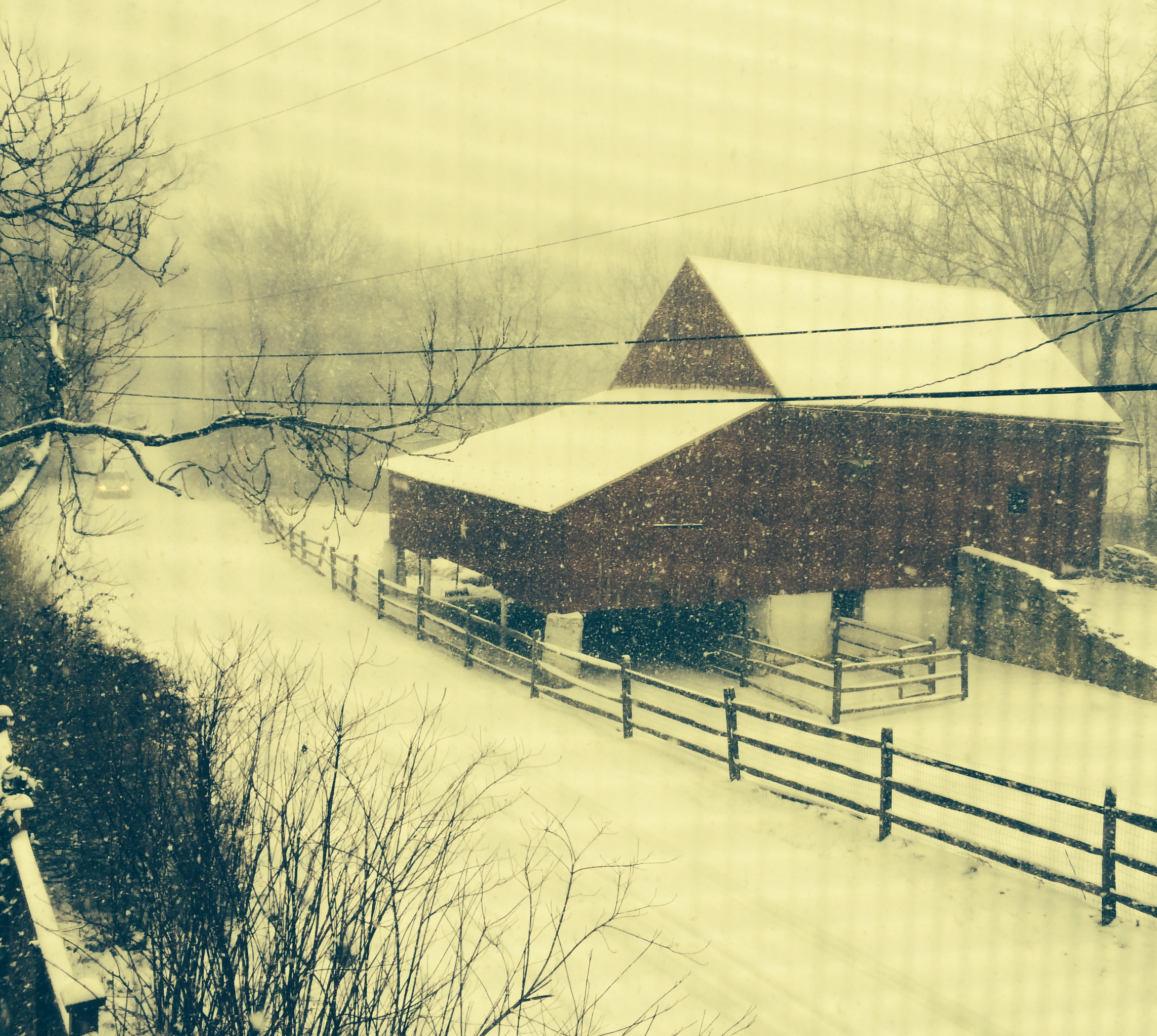 The county isn’t out of the woods when it comes to the pending storm – in fact ice-covered tree limbs remain a threat to power lines – but the National Weather Service has reduced the total snowfall amount to less than an inch.
Ice totals have also been lowered but are still significant: one-tenth to one quarter of an inch. Given the snow still on power lines and trees, even a quarter-inch can cause problems with power lines, according to county officials.
The National Weather Service says snow and sleet are expected to start somewhere around midnight and then switch to freezing rain and sleet after 3 a.m. on Wednesday, Feb. 5. Precipitation will continue in the form of rain, freezing rain, and sleet until about 2 p.m. on Wednesday.
County officials are warning that trees and power lines will likely be brought down and that the morning commute could be difficult. Increased power outages can be expected, although likely not prolonged, they said.
The Chester County Board of Commissioners has issued a declaration of disaster emergency, allowing the county to bypass certain procurement rules to ensure an efficient, effective response to the storm. Additional staff will be brought in to the Emergency Operations Center around midnight, county officials said.
Despite the downgrade for tonight’s mess, there’s no cause for celebration: Another storm is still predicted for this weekend.