Innovative presentation will focus on 1777 Philadelphia Campaign
 Learn about Revolutionary War troop movement in your neighborhood through the lens of modern technology at a program on Tuesday night at the Chester County Library.
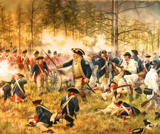
Sean Moir, a GIS analyst for Chester County, will host a program detailing the 1777 Philadelphia Campaign in Chester and Delaware Counties, which included three battles within two weeks: the Battle of Brandywine, the Battle of the Clouds, and the Paoli Massacre, a library news release said.
Moir’s presentation, “A Fortnight in Chester County: The Philadelphia Campaign of 1777,” will use unique animated maps to help tie these events to local sites. As part of a multi-award-winning county project, sponsored in part by the National Park Service and the American Battlefield Protection Program (ABPP), Moir has worked for the last three years researching, mapping, and animating the conflicts, specifically the Battle of Brandywine and the Paoli Massacre, the release said.
The owner and president of Western Heritage Mapping in Valley Forge, Moir has received multiple grants from the ABPP to research and document revolutionary war battles in Chester County, combining his software and GIS skills with his personal interest in history. Moir has created groundbreaking animated battle maps, which have been presented to audiences across the region and are now being incorporated into school curriculums and are on display at museums.
The program will be held from 7 to 8:30 p.m. in the Struble Room of the library, located at 450 Exton Square Parkway in Exton.